Proposed Quintilian Road Capital Works
Consultation has concluded
Do you live on or near Quintilian Road, or use Quintilian Road on a regular basis? If so, the City would like to hear from you.
The City has received funding from the Roads to Recovery Program to improve the safety of Quintilian Road, as a result of resident concerns and City investigations in relation to road safety, non-local traffic use and inappropriate use by motorists.
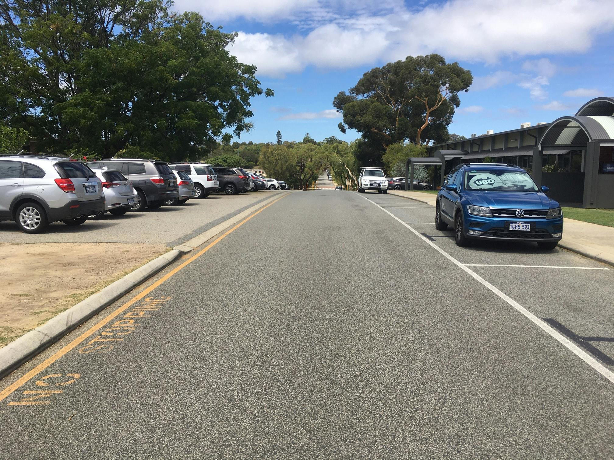
Quintilian Road is a local access road carrying approximately 2,000 vehicles per day, with 85 per cent of motorists driving at a maximum speed of 57 km/hour. The posted speed on Quintilian Road is 50 km/hour.
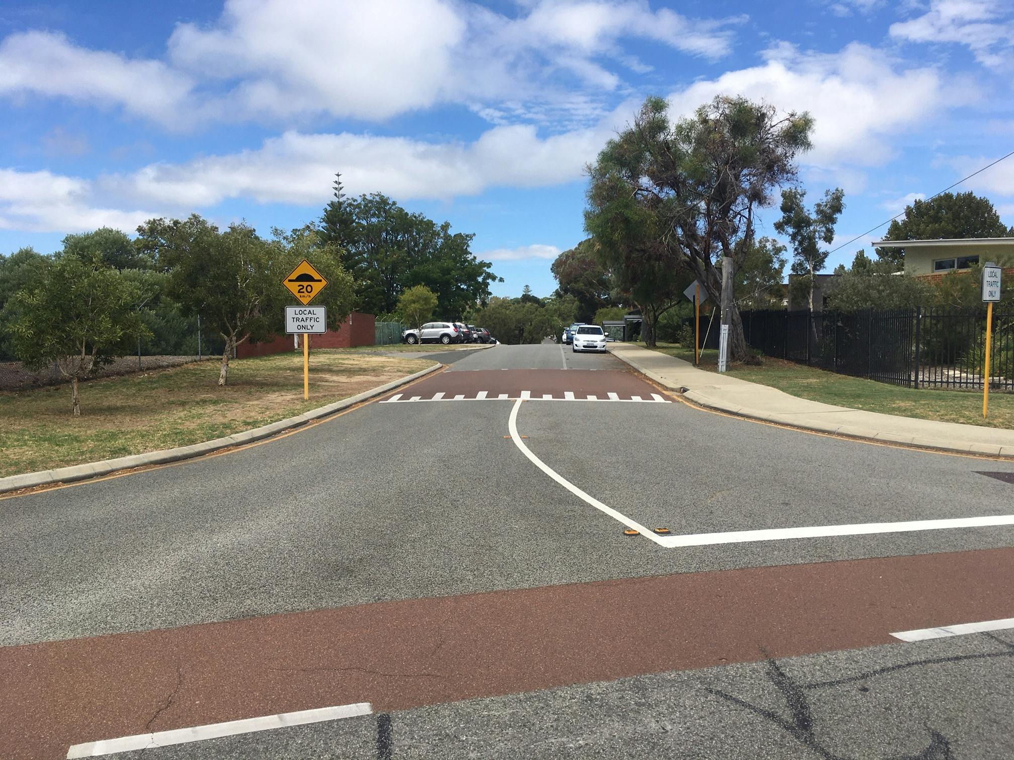
The City has considered the traffic management issues and impacts on the local road network and is proposing to install traffic calming devices, parking and a new shared pathway.
- Parallel parking both sides of the road adjacent to Quintilian School.
- 6m traffic lane width adjacent to Quintilian School.
- Installation of rubber or asphalt speed cushions at the east end of Quintilian School and mid-block between Tuart Entrance and Stubbs Terrace.
- Parallel parking both sides of the road at the residential, eastern end of Quintilian Road.
- 5.5m traffic lane width at the residential, eastern end of Quintilian Road.
- 2.5m wide shared path on the northern verge of Quintilian Road between Brockway Road and the Perth-Fremantle shared path on Stubbs Terrace.
An update on progress of this project is provided in the Newsfeed below.
How you can be involved, find out more or provide feedback?
You can participate in this review by:
- Reviewing the information provided on this site
- Provide feedback using the Survey tabs below:
- Ask us by using the Ask Us a Question tab and we will respond
Are you interested in other projects being undertaken by the City? Would you like to receive the City’s electronic newsletter on the latest City projects? If so, please click on the 'Register to get involved' tab at the top of this page to register.
Have a question about these capital works on Qunitilian Road, Mt Claremont?
If so, please provide your questions and we will respond within 48 hours.
Signup Banner

Project Partner
![]()