Local Planning Strategy
Consultation has concluded
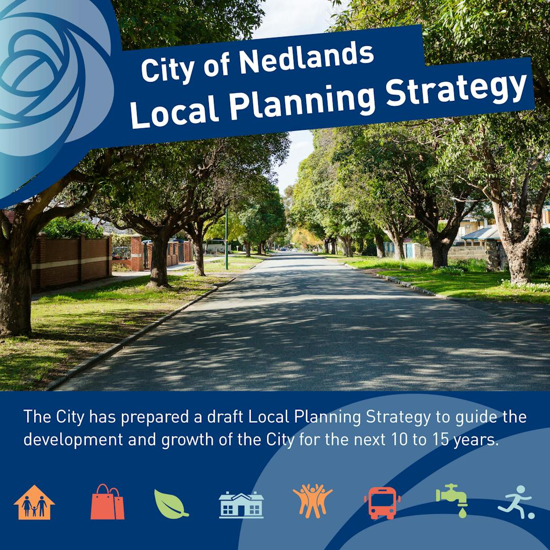
How will the City of Nedlands look in the future? The new Local Planning Strategy will shape our City for the next 10-15 years.
A Local Planning Strategy is the document that helps the City plan for land use and the future urban development of our area. This builds upon the Vision from the City’s Strategic Community Plan (Nedlands 2023).
The City produced a Local Planning Strategy and this has now been endorsed by the Western Australian Planning Commission.
The Local Planning Strategy establishes key principles that will be used in considering land use and development in response to changes in population, housing, employment, transport, community facilities and infrastructure.
The development of the Local Planning Strategy is the first stage in a broader process to review the City’s current Town Planning Scheme No. 2. The Strategy provides the intentions that the City will pursue when developing a new Local Planning Scheme No. 3 and subsequent Local Planning Policies and Local Development Plans.
If you have any questions about the Local Planning Strategy please contact the Planning Team via email council@nedlands.wa.gov.au or by calling
This tool is provided so you can ask a question of our Strategic Planning Team. We will respond to questions as soon as possible, but no later than the next business day.
-
Share on Facebook Share on Twitter Share on Linkedin Email this link
We have now lived in the City of Nedlands for 20 years. It is very sad to see that our leafy suburb is disappearing. Big big houses have been built sometimes taking up most of the block with no room for trees or proper gardens. I would really like to see a new rule where is you wish to built house X on block Y then you must plant Z amount of trees/shrubs. And please could we ban fake lawn. Is it possible to include such an law in the new local planning?
Hella Hollyock asked almost 8 years agoThank you for your comments. Maintaining the green, tree-lined nature of our suburbs is key in the City of Nedlands vision. In general, the types of rules you have suggested are better addressed in a Local Planning Scheme, rather than Strategy. Development of a new Local Planning Scheme is underway and will also have a public consultation period.
-
Share on Facebook Share on Twitter Share on Linkedin Email this link
Subject: Saving Banksia Bushland, Montgomery Electrical Substation Development in Mt Claremont West Precinct During local strategy meeting Mr Peter Mickleson, Planning Officer of Nedlands Council, informed about the bushland between Kurren Court and Mt Claremont Library, currently occupied by Western Power for their sub-station site. According to Mr Mickleson, Western Power didn’t require that site for sub-station anymore and were talking to him about redefining the site boundaries, applying to re-zone the land for development and planning to sell the land. As you are aware this site has been home to native wildlife, a number of reptiles, invertebrates and birds for many years. Furthermore, there do exist vegetation and native fauna, which will be heavily affected by rezoning. Most of reptiles, invertebrates and birds forced to move to this side of the bushland due to rezoning and construction of St John's Wood development. Obviously the new move by Western Power will increase the pressure on wildlife and distress them even further as they have a limited space to live. The effect on existing vegetation will be irreversible. Would you please let us know what s your plan to preserve natural environment, fauna and native reptiles, invertebrates and birds in Banksia Bushland? To avoid endangering the wildlife lives and preservation of the natural environment in the Banksia Bushland, We propose that this site to remain bushland and to be transferred to the Botanic Gardens and joined to existing gardens. SA amiribs asked 4 days ago Thanks for your interest. At its meeting of 15 December 2015, Council resolved that: Council: 1. Endorses Western Power initiating the process to adjust the boundaries between its parcel of land at 120 Montgomery Road Mt. Claremont and the adjacent parcels of land vested in the City of Nedlands as Public Purpose Recreation. All costs associated with this process are to be borne by Western Power. 2. Requests Western Power to consider the transfer of the land with vesting to the City of Nedlands for public purposes/recreation. Please visit http://www.nedlands.wa.gov.au/minutes-agendas(External link) and scroll to December 2015 PD Reports to read the report associated with the resolution as it provides more detailed information that might be of interest to you. SA: So, to be clear on this, you are saying that you (City of Nedlands Council) will not re-zone this area to the residential zone, and the land will be transferred to the City of Nedlands for public purposes/recreation. good to hear that.
amiribs asked almost 8 years agoTo clarify, the December 2015 resolution allows Western Power to pursue the desired boundary adjustment. Western Power could pursue rezoning of the piece of in a new Local Planning Scheme or Scheme Amendment. Either of these processes require Council decisions. The December 2015 resolution simply highlights Council’s preference to see this land vested in the City of Nedlands for public purposes/recreation.
-
Share on Facebook Share on Twitter Share on Linkedin Email this link
Conservation areas and recreation areas are not identified separately; Despite a stated intention to promote transport other than cars, there is no network of cycleways,walkways, or greenways, e.g. 99+% of users to the various clubs in the Allen Park precinct are by car. Even more clubs are mooted and these would be accessed by car. This is "PLANNING"??; There is no emphasis on the bush-to- beach nature of the coastal wards and associated walk trails. WHY to each of the above?
Ed O'Loughlin asked almost 8 years agoThank you for taking the time to ask us a question. The draft Local Planning Strategy does not propose much change for Swanbourne, and as a result these is not a lot of detail on the map about the different ‘green spaces’ in the precinct. The Precinct Specific Strategies for Swanbourne are as follows :
- Retain and enhance the character and streetscape of the existing residential areas.
- As a priority, comprehensively plan for Allen Park and surrounding areas.
- Rationalise split density codes in order to protect the established character of the precinct.
The second point, relating to planning for Allen Park and surrounds, is intended to reflect the incomplete master planning of the area and highlight the need for thorough, strategic planning (including traffic and access) rather than addressing ad hoc proposals. If you would like to see a greater emphasis on protecting, maintaining or creating cycleways, walkways and greenways in the area, we would be very interested to receive a submission from you if you have not already done so.
-
Share on Facebook Share on Twitter Share on Linkedin Email this link
What control will Council have over the Aldi site and Captain Stirling Woolworths ambitions? These are incorporated in the town centre site and thus a critical decision area for the strategy. The possibility of having two retailers so close to each other and the associated parking/congestion problem presents a scary scenario. Residents have been clear in their opposition to Woolworths but they will not, I suspect, give up. The possible Achilles heel in any strategy is implementation and there will be so many strong opposition forces at work (developers, Supermarket owners, DAP's, a Government Minister with overall vetoing authority) that the best of strategic plans can struggle in the implementation. Council must recruit the assistance of the majority of the residents to support the strategy resulting from this consultation process in order to provide a strong countervailing force to possible (probable) opposition
roger smith asked almost 8 years agoA good question, our Captain Stirling Neighbourhood Centre is one of our key planning challenges. The draft Local Planning Strategy references the future of the Centre in our Intentions, Strategies and background information, for example one of our Retail and Commerce Strategies reads as follows:
‘Facilitate the maintenance and expansion of the Captain Stirling Neighbourhood Centre (and nearby civic facilities such as City of Nedlands Administration and Library) as the main Town Centre. Plan for this centre to be the largest and most complex mixed‐use activity centre in the hierarchy of centres.’
There is technical detail contained within the Activity Centres Planning Strategy (attached to the draft Local Planning Strategy) for further reading.
You are correct in saying that the draft Strategy lacks statutory development controls. The next step in the preparation of a new planning framework, a Local Planning Scheme, is where the development control provisions will be formulated. We are confident that with an engaged local community and further consultation, a favourable outcome can be achieved for a refreshed Town Centre.
-
Share on Facebook Share on Twitter Share on Linkedin Email this link
Hello Why is there no strategy for the higher rezoning of the residential areas that are within 400 metres of the Dalkeith activity centres?
Dalkeith Resident and Property Owner asked almost 8 years agoThanks for your question. The draft Local Planning Strategy does not propose any further growth in the area for a couple of reasons. Firstly, there is existing residential development potential within the activity centre (enabled by Scheme Amendment 192 in 2012). Also there is some diversity in the housing immediately around the centre, with a number of smaller lots, duplexes and villa style houses. If you’d like to see more residential density around the Dalkeith centre, please complete a survey or write a submission letting us know what you’d support.
-
Share on Facebook Share on Twitter Share on Linkedin Email this link
Subject: Saving Banksia Bushland, Montgomery Electrical Substation Development in Mt Claremont West Precinct During local strategy meeting Mr Peter Mickleson, Planning Officer of Nedlands Council, informed about the bushland between Kurren Court and Mt Claremont Library, currently occupied by Western Power for their sub-station site. According to Mr Mickleson, Western Power didn’t require that site for sub-station anymore and were talking to him about redefining the site boundaries, applying to re-zone the land for development and planning to sell the land. As you are aware this site has been home to native wildlife, a number of reptiles, invertebrates and birds for many years. Furthermore, there do exist vegetation and native fauna, which will be heavily affected by rezoning. Most of reptiles, invertebrates and birds forced to move to this side of the bushland due to rezoning and construction of St John's Wood development. Obviously the new move by Western Power will increase the pressure on wildlife and distress them even further as they have a limited space to live. The effect on existing vegetation will be irreversible. Would you please let us know what s your plan to preserve natural environment, fauna and native reptiles, invertebrates and birds in Banksia Bushland? To avoid endangering the wildlife lives and preservation of the natural environment in the Banksia Bushland, We propose that this site to remain bushland and to be transferred to the Botanic Gardens and joined to existing gardens. SA
amiribs asked almost 8 years agoThanks for your interest. At its meeting of 15 December 2015, Council resolved that:
Council:
1. Endorses Western Power initiating the process to adjust the boundaries between its parcel of land at 120 Montgomery Road Mt. Claremont and the adjacent parcels of land vested in the City of Nedlands as Public Purpose Recreation. All costs associated with this process are to be borne by Western Power.
2. Requests Western Power to consider the transfer of the land with vesting to the City of Nedlands for public purposes/recreation.
Please visit http://www.nedlands.wa.gov.au/minutes-agendas and scroll to December 2015 PD Reports to read the report associated with the resolution as it provides more detailed information that might be of interest to you.
-
Share on Facebook Share on Twitter Share on Linkedin Email this link
I live south of Stirling Hway with my southern border on Jenkins ave. Because Jenkins is not quite parallel with the Hway the border of the shaded area for development, which is a set distance from the Hway, necessarily crosses many blocks diagonally. This does not seem a sensible decision. It makes more sense to have Jenkins ave as the southern border for development in this region. If part of your block falls in the shaded area does this include or exclude you from that zoning density?
kenn asked almost 8 years agoThanks for your question. The Transition Zones as shown on the map are conceptual, they indicate that from the high intensity development on Stirling Highway we expect there to be one or two different sets of development rules to transition back to the existing residential areas. The exact boundaries of where these different zonings, building heights and development rules will apply hasn’t been decided yet. You are correct that when this detail is decided, blocks will be wholly within one ‘zone’.
-
Share on Facebook Share on Twitter Share on Linkedin Email this link
I have read the local planning strategy and it seems to me that the key issue which is not being addressed is the future of Stirling Highway. Main roads have imposed setback of 10.7m on the south side of the highway but with no certainty of what they are going to do or when they might even make a decision on what they intend. All property owners are in limbo waiting for something to happen and this situation has been going on for many years. How can you expect property owners to make rational investment decisions in these circumstances. Ideas of a town center along Stirling are pie in the sky until main roads decide what they are doing. The slow decline of the streetscape along Stirling is destined to continue along with the deterioration of the pedestrian pavements. Perhaps you should rezone the property to R80 and see if that provokes some action.
Mike Murrey asked about 8 years agoThank you for your comments. As you mentioned, Stirling Highway is complex with many different agencies involved in the planning and decision making process. Issues such as built form, land use, density and access requirements all need to be addressed. Earlier this month the amendment to the Stirling Highway Road Reservation was tabled in Parliament. The finalisation of this amendment will give some certainty to landowners and setbacks that relate to the rationalised road reservation can be implemented. More work will be required to determine exactly what the roadway and footpath will look like within the road reservation.
The Local Planning Strategy in identifying Stirling Highway as a ‘high intensity, predominantly medium rise urban growth area’ giving partner agencies more direction for the City’s expectation for the future of the corridor, and landowners an indication of the future development potential of their lot. The Activity Corridor Framework survey might be a good tool for you to provide some more detailed feedback.
-
Share on Facebook Share on Twitter Share on Linkedin Email this link
I refer to your 4 Local Planning Strategy Map; Looking at Nedlands North it does not make sense to just draw a line for the transition zones, beyond those line of the 2nd Transition zones you are going to leave a few homes near to some part of the Carrington street with a different density or height R Codes I presume. It will then be difficult to deal with those few homes who may dispute those types of zoning. it will be better for the entire sections apart from the urban growth areas to be all under the similar zoning scheme. It is up to all these homes to provide feedback as what they think of the intended density and zoning for their area. similar approach should apply where a certain low percentage of the planned zoning change to a specific area when occur to be all subjected to the same zoning change.
jk asked about 8 years agoThank you for taking the time to ask us a question. The Transition Zones as shown on the map are conceptual, they indicate that from the high intensity development on Stirling Highway we expect there to be one or two different sets of development rules to transition back to the existing residential areas. The boundaries of the different areas have not yet been decided. We will use the comments from this engagement process in deciding exactly where the different zonings, building heights and development rules will apply. It would be good to hear your thoughts through our surveys.
-
Share on Facebook Share on Twitter Share on Linkedin Email this link
In regards to the Nedlands City Plan and in particular the infill aspect, what consideration have you made in relation to the impact on local public schools? How do you envisage the accomodation of increases in student numbers resulting from increased density in the school catchment areas? Also what are the intentions with regard to higher density buildings being situated in close proximity to these schools and the implications on privacy, parking and traffic congestion?
Vicraybro asked about 8 years agoThanks for your question. We understand the Department of Education are reviewing the need for additional school facilities in the western suburbs area. The City has also written to the Department of Education and local schools in relation to the draft Local Planning Strategy, both for their information and to prompt further discussions if required.
The relationship between higher density buildings and adjacent areas will be a challenge across a number of areas including, as you’ve mentioned, around schools. The Urban Design, Character and Heritage Intention and associated Strategies indicate the importance of best practice urban design particularly in areas of transition. The detail of exactly how this will occur will be further developed in the new Scheme. Parking and traffic congestion will also have to be closely managed across the City of Nedlands, the Traffic and Transport Intentions and Strategies provide some more detail on this topic.

Who's listening
-
Strategic Planner

Phone 9273 3500 Email council@nedlands.wa.gov.au -
Strategic Planner

Phone 9273 3500 Email council@nedlands.wa.gov.au -
Strategic Planner

Phone 9273 3500 Email council@nedlands.wa.gov.au